The area has many Countryside Parks, Nature Reserves and Beauty Spots for leisure & pleasure, nature watching, walking, picnicking etc. We have listed below a selection, some are well known others are perhaps more of a local secret - we hope you get to enjoy them.
click to see Stafford Area, Stone Area, Stoke Area, Leek Area, Cheadle Area
Stafford Area
Aqualate Mere National Nature Reserve – Aqualate Estate nr Gnosall
the largest natural lake in the West Midlands, internationally important wetland reserve for its habitats and overwintering wildfowl, with open water, reedbeds, rush pasture and woodland, public observation hide at the eastern end of the 72 hectares mere - car park is off Guild Lane a single track road (signposted Quarry) from the A518 Stafford to Newport road -
Accessibility wheelchair accessible bird hide - however our inspection visit found only standard gate latches and an unmade, very rough path from the car park - robust equipment and assistance recommended
www.gov.uk/government/publications/...
Doxey Marshes Nature Reserve wetland oasis near the centre of Stafford and one of the country's best bird watching sites. Two bird hides and a series of pond dipping platforms,over 200 species recorded and over 80 breeding species, also home to regionally significant populations of Otter, Harvest Mouse and Water Shrew
Accessibility Flat surfaced paths cover most of the reserve, although access is occasionally reduced during periods of flooding, wheelchair accessible bird hide - however our inspection visit found unmade and very rough paths - robust equipment and assistance recommended
www.staffs-wildlife.org.uk/reserves/doxey-marshes
Stone Area
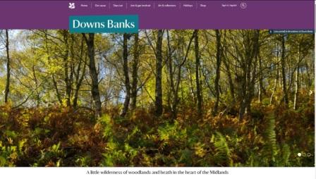
Downs Banks (NT) – nr Barlaston
This is a valley of woods and heath with a brook running down the valley with a ford. There is no development except for the car park - the land was purchased by the Joules brewing family and public subscription and given to the National Trust in 1950 in honour of the fallen of the second world war
Accessibility wheelchair accessible walks - there are no toilet facilities at this site
Take a look at our Downs Banks photo album on Flickr -
www.flickr.com/photos/visit-north-staffordshire...
nationaltrust.org.uk/downs-banks
Stoke on Trent Area
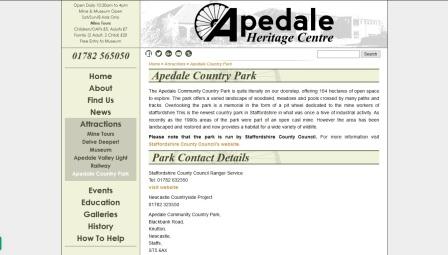
Apedale Community Country Park and Apedale Valley Light Railway & are located on the outskirts of the Newcastle, 454 acres of parkland reclaimed from the coal mining industry now woodland, meadows, ponds and marsh full of wildlife. Heritage Centre, café, mine tours, museum and Apedale Valley Light Railway, many walks, outdoor activities etc
Accessibility baby changing, disabled access, disabled toilets - some paths are accessible and have hard surfaces, some have steep inclines
Take a look at our Apedale photo album on Flickr -
www.flickr.com/photos/visit-north-staffordshire...
www.apedale.co.uk/
www.staffordshire.gov.uk/...
www.avlr.org.uk
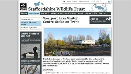
Westport Lake – nr Burslem – created alongside the Trent and Mersey Canal is a nature reserve consisting of two lakes and a conservation area. It includes a Visitor Centre, cafe and play area – The Visitor Centre and Cafe are run by the Staffordshire Wildlife Trust - the car park and lakes are maintained by Stoke on Trent City Council
Cycle Hire is provided by a community group Green Door CIO – they have standard and accessible bikes for hire including Velo wheelchair transporter, hand cycle, 5 trikes, 2 Companion 2-person cycles, Twinbike + cycle carries 3 adults or children, two peddling and a 3rd passenger on the front, a tandem and a child’s trailer – see www.green-door.org.uk
Birdwatching, Cycle or walk along the canal towpaths or the cycle tracks – it is a 10 – 15min walk along the canal to the Harecastle Tunnel
Accessibility accessible toilet and baby changing facilities, plenty of car parking, paths around the lake are firm / surfaced – sloped access paths to the visitor centre and to the canal towpath (part of the National Cycle Route 55) Accessible cycle hire is available at the lake
Take a look at our Westport Lake and Harecastle Tunnel photo album on Flickr -
www.flickr.com/photos/visit-north-staffordshire...
see www.staffs-wildlife.org.uk/visitor-centres/westport-lake-visitor-centre
Greenway Bank Country Park – Brindley Ford – Old estate parkland retaining many of the original and interesting historical features with 114 acres of beautiful woodland walks around the Serpentine Lake and Knypersley reservoir. Children’s adventure play area adjacent to the visitor centre
Accessibility baby changing, disabled toilets at the Visitor Centre car park, accessible paths from the Knypersley car park and over the dam (road)
Take a look at our Greenway Bank and Knypersley photo album on Flickr -
www.flickr.com/photos/visit-north-staffordshire...
www.staffordshire.gov.uk/...
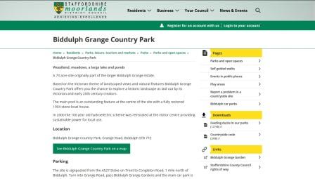
Biddulph Grange Country Park – Biddulph – Based on the Victorian theme of landscaped views combined with natural features, the 73 acre park offers woodlands, meadows, a large lake and ponds. Paths have been restored and new ones created to give easy access throughout the park. Adjacent to the world famous Biddulph Grange Gardens (NT) - see the Properties and Gardens page, café and toilets
AccessibilityThe site is on a hillside but there is wheelchair access as far as the main pool
www.staffsmoorlands.gov.uk/...
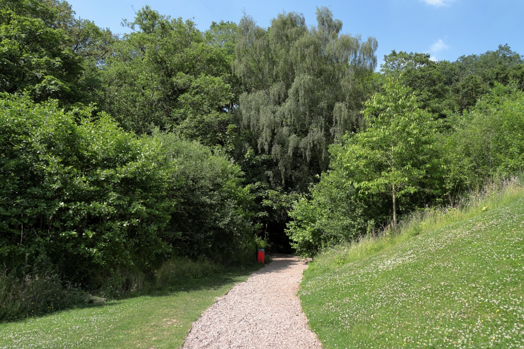
Park Hall Country Park – Nr Longton – Over 300 acres of grassland, woodland heathland and wetland areas, with a Local and a National Nature Reserves, Sandstone canyon, ( contains nationally important red sandstone and pebble beds, which were deposited between 250 and 215 million years ago) - toilets and small play area, picnic areas (a Visitor Centre is under construction)
Accessibility Sadly we must report this as having very restricted wheelchair access, paths are unmade and generally rough, some accessibility for all terain scooters and powered chairs near car parks. Some seating provided but not at regular intervals
Take a look at our Park Hall photo album on Flickr -
www.flickr.com/photos/visit-north-staffordshire...
www.stoke.gov.uk/parkhallcountrypark
Hem Heath Woods – Trentham – 41 hectares of woodland with walking trails, a green oasis, and the largest area of woodland in Stoke-on-Trent. Managed by the Staffordshire Wildlife Trust
Accessibility Walking trails are suitable for robust wheelchairs and all terrain mobility scooters, though mainly surfaced they can be rough and muddy in wet weather. There are a number of benches throughout the wood
There is a small car park at the Longton Road entrance there is also parking and an entrance at the World of Wedgwood, Barlaston. Why not park at Trentham and take a walk through the woods to the World of Wedgwood and enjoy an afternoon tea, a factory tour or a little shopping in the Wedgwood Store and the Factory Outlet
There are walk leaflets available to download on the Staffs Wildlife website -
staffs-wildlife.org.uk/nature-reserves/hem-heath-woods
see walks on www.worldofwedgwood.com
Take a look at our Hem Heath Woods photo album on Flickr -
www.flickr.com/photos/visit-north-staffordshire...
Hanchurch Hills – Nr Trentham – Picnic Site, woodland walks and mtb trails
facebook.com/pages/Hanchurch-Woods
Take a look at our Hanchurch Hills photo album on Flickr -
www.flickr.com/photos/visit-north-staffordshire...
see walks on www.staffordshire.gov.uk/...
download a walks leaflet at www.staffordshire.gov.uk/...
Cheadle Area
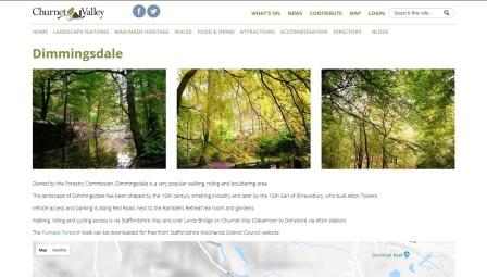
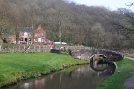
Alton, Churnet Valley and Dimmingsdale – Nr Cheadle – the valley sits below the Alton Towers Resort, it is locally called Little Switzerland due to the fairytale like castle structure that rise above the trees (Alton Castle). (See the Oakamoor listing below) There is a car park at the Ramblers Retreat on Red Road, accessible from Alton or Oakamoor and access to Dimmingsdale a Forestry Commission managed site, with walks along the river and ponds and through the woods.
Accessibility The main walk in Dimmingsdale is accessible but the surface is rough and requires robust equipment (old roadway) and has an incline
Take a look at our Oakamoor, Dimmingsdale and Alton photo album on Flickr -
www.flickr.com/photos/visit-north-staffordshire...
Bike Hire is available from Cheadle Cycles in the Market Square, Cheadle, have folding bikes & a tandem for hire
and Churnet Valley Cycle Hire have Adult and Childrens bikes for hire
churnet-valley.guide
oakamoor.org The village website details a number of walks
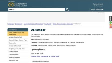
Oakamoor picnic area – Nr Cheadle – There is a car park at Oakamoor with picnic areas and from here a cycle track runs along the valley utilising the old railway trackbed, following the River Cuhurnet, this passes through Alton village and on to Denstone. Leaving the track at the fist bridge brings you to the Ramblers Retreat and access to Dimmingsdale a Forestry Commission managed site see above
Accessibility The Picnic area is accessible and there are accessible toilets - The track is accessible from Oakamoor however there is no ramped exit for Dimmingsdale or Alton
Take a look at our Oakamoor, Dimmingsdale and Alton photo album on Flickr -
www.flickr.com/photos/visit-north-staffordshire...
www.staffordshire.gov.uk/... and
oakamoor.org The village website details a number of walks
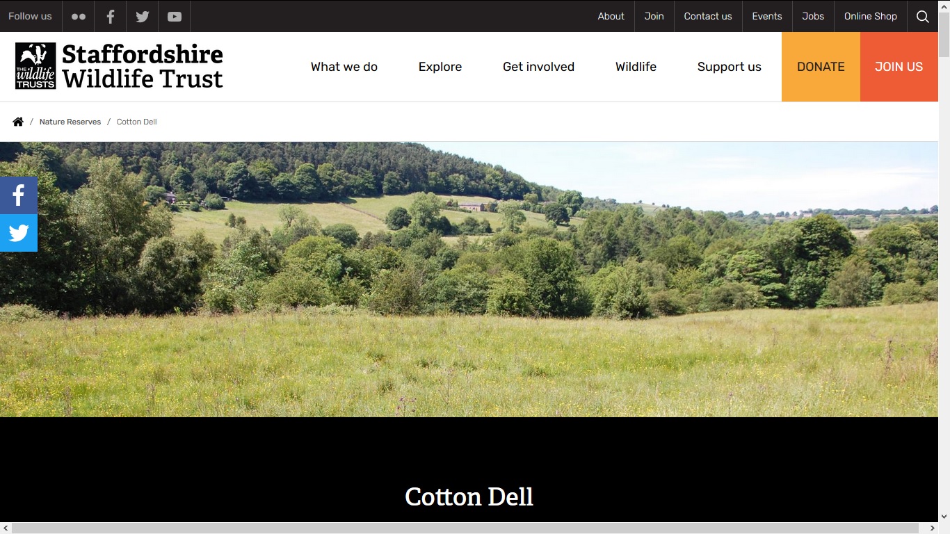
Oakamoor - Cotton Dell From the Oakamoor Picnic Area cross the green to the main road, turn right and stay on footpath until you reach the old petrol station / old lime kilns cross the road and take the track between the houses – this leads to the Cotton Dell Nature Reserve. There are a number of public footpaths crossing the reserve and it is possible to navigate a circular route
Accessibility The track and reserve are accessible to buggies and wheelchairs but only for few hundred yards and then the footpath leaves the track and is narrow and rough in places.
Take a look at our Oakamoor, Dimmingsdale and Alton photo album on Flickr -
www.flickr.com/photos/visit-north-staffordshire...
www.staffs-wildlife.org.uk/nature-reserves/cotton-dell
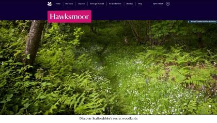
Hawksmoor (NT) – Nr Oakamoor
Ancient woodland reserve, a steep valley with unsurfaced or rough paths and tracks, small car park - this is a hidden gem, often quiet and good for bird watching
Accessibility Not wheelchair accessible, steep rough paths and tracks
www.nationaltrust.org.uk/hawksmoor
Leek and Staffordshire Moorlands Area
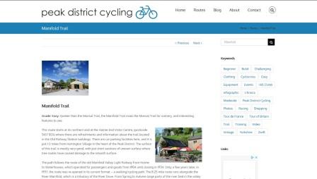
Manifold Valley Trail – Waterhouses
the cycle track follows the route of the disused railway through the Manifold Valley from Waterhouses to Hulme End and is part of the National Cycle Route 549 - there is a car park just off the main road at Waterhouses and at the other end at Hulme End Visitor Centre. There are Tea Rooms and toilets at Wetton Mill and at Hulme End, picnic by the river, walk, cycle - Cycle Hire is available localy from Waterside Cottages Cycle Hire, Brown End Farm - Waterhouses watersideholidaycottagesuk.co.uk/bike-hire
Accessibility the track is accessible for wheelchairs and mobility scooters, limited parking at Wetton Mill
Take a look at our Manifold Valley photo album on Flickr -
www.flickr.com/photos/visit-north-staffordshire...
www.peakdistrictcycling.co.uk/manifold-trail/
- download a map produced by the Peak National Park here
Ilam Park – (NT) Country Park with a Youth Hostel (Ilam Hall) and Tea Room
the grouds to the estate are well maintained, and offer many walks in the woods and riverside. The vilage of Ilam is quite picturesque. There is a walk from the vilage across the feilds to Dovedale (about 1 mile), the steepsided valley is a magnet for visitors, lots walks, follow the river to the stepping stones and then on to Mill Dale.
Accessibility wheelchair accessible walks in Ilam Park, accessible toilet by the visitor centre. - If you drive to Dovedale, from the car park (charges) there is wheelchair access along the closed road to the stepping stone
A Changing Places facility is located in one of the external buildings of the Ilam YHA. There are accessible paths from the National Trust car park and Stable Yard .
.
Take a look at our Ilam and Dovedale photo album on Flickr -
www.flickr.com/photos/visit-north-staffordshire...
www.nationaltrust.org.uk/ilam-park-dovedale-and-the-white-peak
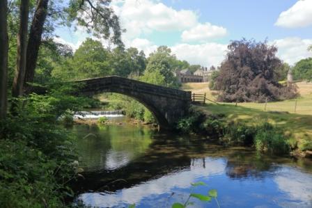
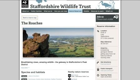
The Roaches – Nr Leek
This imposing rocky outcrop sits above Titersworth Reservoir and is a simply stunning landscape. The rocks afford some of the best climbing in the country, there are walks and wildlife a plenty -
Accessibility Not wheelchair accessible
Take a look at our Roaches photo album on Flickr -
www.flickr.com/photos/visit-north-staffordshire...
www.staffs-wildlife.org.uk/reserves/the-roaches
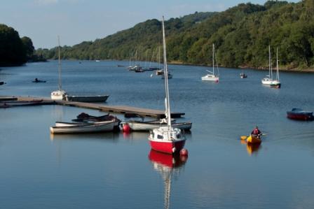
Rudyard Lake – located outside Stoke on Trent near Leek and the Peak District National Park, two and a half mile long lake, water sports, fishing, walks, wildlife, steam train ride, cycle track, visitor centre, cafe, shop
www.rudyardlake.com
The Rudyard Lake Steam Railway runs by the lake and cycle track, has a Station Cafe
Accessibility There is wheelchair access to all the stations, plans to have a wheelchair accessible rail coach
Take a look at our Rudyard Lake photo album on Flickr -
www.flickr.com/photos/visit-north-staffordshire...
www.rlsr.org
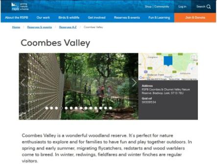
RSPB Coombes & Churnet Valley Nature Reserve Coombes Valley is a wonderful woodland reserve. It’s perfect for nature enthusiasts to explore and for families to have fun and play together outdoors. In spring and early summer, migrating flycatchers, redstarts and wood warblers come to breed. In winter, redwings, fieldfares and winter finches are regular visitors - woodland reserve at Bradnop, for nature enthusiasts to explore and for families to have fun and play together outdoors.
www.rspb.org.uk/reserves-and-events/reserves-a-z/coombes-valley
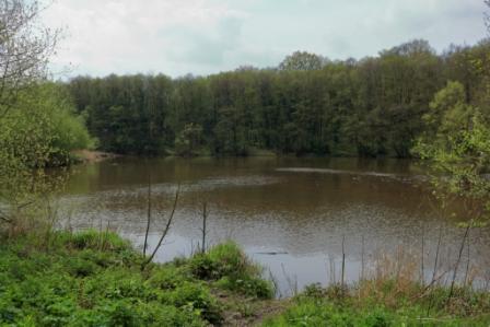
Consall Nature Park - located in the Churnet Valley it is reached by road via the hamlet of Consall, or by foot it can be reached via the Caldon Canal towpath from Cheddleton or Froghall. There is a small visitor centre and car park, fishing lakes and a variety of walking trails through woodland, marsh and riverside meadows. In the valley there is a station for the Churnet Valley Railway so you could arrive by Steam Train -
Accessibility Very steep sided valley, rough footpaths, roadway from has some blue badge parking at bottom of the valley allowing access to the canal and station via the roadway - robust equipment and assistance recommended
The site is owned by Staffordshire County Council but now under the management of the RSPB
www.rspb.org.uk...
Take a look at our Churnet Valley photo album on Flickr -
www.flickr.com/photos/visit-north-staffordshire...
Deep Hayes Country Park – nr Longsdon
60 acres of woods and meadows in a small steep sided valley with reservoir and woodland walks as well as a footpath link to the Caldon Canal, it has a small visitor centre / toilets, car parks, picnic area, bird hide, outdoor activity grounds, woodland and nature walks – see our activity pages for walks -
Accessibility some wheelchair accessible paths (firm and relatively level), baby changing, disabled toilets
Take a look at our Deep Hayes photo album on Flickr -
www.flickr.com/photos/visit-north-staffordshire...
www.staffordshire.gov.uk/...
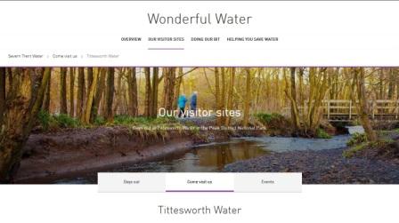
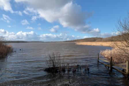
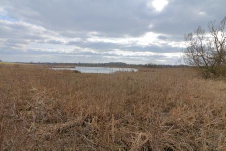
Tittesworth Water – (STW) – The Roaches, nr Leek – “variety of habitats, from conifer plantation and semi ancient woods to wildflower meadows and marshland”, a country park, visitor centre, large adventure play area, 2 bird hides, walking trails (1.5 or 5 miles), Water Sports and Activity Centre, cafe, shop
Accessibility - "There are toilets and car parking facilities for disabled visitors and some stretches of the adjoining path are accessible by wheelchair"
www.stwater.co.uk/wonderful-on-tap/our-visitor-sites/come-visit-us/tittesworth-water