Walking - Walking routes
Long Distance routes
Gritstone Trail – 35 miles – between Disley, Manchester and Kidsgrove, Stoke on Trent. ![]()
Sabrina Way – Bridleway – 203 miles – between Great Barrington, Derbyshire and Hartington, Worcestershire – runs through Dimmingsdale in the Alton Valley a hidden treasure below Alton Towers, there is an excellent Tea Room and Forestry Commission car park see www.forestry.gov.uk/forestry/englandstaffordshirenoforestdimmingsdale
see ![]() and
and ![]()
The Two Saints Way – 92 miles – recreated pilgrimage route between the cathedral cities of Chester and Lichfield see ![]()
The Staffordshire Way – 92 miles from Mow Cop to Kinver Edge, from Mow Cop at the north end of Stoke on Trent it works its way down through North Staffordshire linking many places of interest and attractions.
From Mow Cop it follows Congleton Edge to the top of The Cloud giving views across Cheshire before it drops down and towards Rushton Spencer where it follows an ols railway track to Rudyard Lake, it then follows the Churnet Valley around Leek, passes Deep Hayes Country Park, along the Cauldon Canal to Cheddleton, through Hawksmoor Woods at Oakamoor on to Alton and on in to East Staffordshire at Rocester (Roman) and home to JCB, on to Uttoxeter via Abbots Bromley, Blithfield Reservoir, the outskirts of Rugeley to Great Haywood & Shugborough passing Stafford and on to Penkridge and South Staffordshire.
download a leaflet on The Staffordshire Way from our archive ![]()
Shorter Walks
Dimmingsdale in the Alton Valley (see Sabrina Way above)
Download a 'Staffordshire Moorlands D.C.' published walk leaflet for Furnace Forest walk - 4 miles around Dimmingsdale Alton - ![]()
and ![]() Take a look at our Oakamoor, Dimmingsdale and Alton photo album on Flickr -
www.flickr.com/photos/visit-north-staffordshire...
Take a look at our Oakamoor, Dimmingsdale and Alton photo album on Flickr -
www.flickr.com/photos/visit-north-staffordshire...
Saltersford Lane Circular Walk 5 miles – “This circular walk between the villages of Alton and Denstone is as rich in history as it is in natural beauty. The walk follows the River Churnet and the routes of an old canal and railway to Denstone, before returning to Alton across the hilltops along the ancient Saltersford Lane “ the walk is a nice extension to a walk around Dimmingsdale & Alton (see above), in parts it follows a section of the Staffordshire Way - this is a download from Staffordshire County Council – ![]()
Oakamoor (car park) – take the cycle path along the Alton Valley at the 1st Stone Bridge exit cross the bridge and the path brings you to Dimmingsdale (see above) or continue and exit after the old station taking the road to the right up to Alton Village (left and its Alton Towers) and return the same way or take the lane past the Dimmingsdale car park back to Oakamoor – There are also woodland walks in the NT Hawksmoor see www.nationaltrust.org.uk/hawksmoor which is at the top of the hill from Oakamoor
Oakamoor and Whiston Circular Walk – 8 miles – this is a download from Staffordshire County Council – “This walk around the Churnet valley begins in Oakamoor, follows Cotton Dell upstream to a nature reserve, then climbs up through woodland and over the hill tops to Whiston. From there the walk crosses the valley and passes through the National Trust's woods at Hawksmoor before returning to Oakamoor.” ![]()
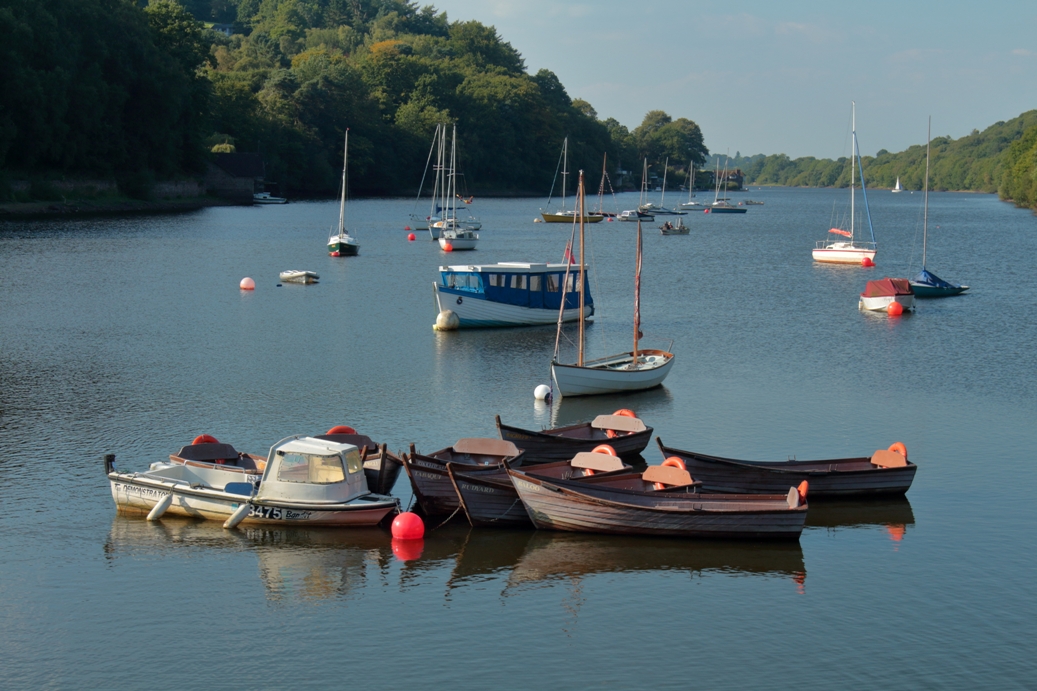
Rudyard Lake – there is a car park at the miniature railway station see www.rlsr.org and this also sits on the cycle trail which runs from the lake side to Leek see www.cycle-route.com/routes/Rudyard_Reservoir-Cycle-Route-1178.html There is a circular walk around the lake see www.rudyardlake.com/walking
Download a 'Staffordshire Moorlands D.C.' published walk leaflet from our archive - ![]() also see
also see ![]()
Take a look at our Rudyard Lake photo album on Flickr -
www.flickr.com/photos/visit-north-staffordshire...
www.rlsr.org
Manifold Valley see the National Trust website - a circular walk from the stone-built village of Wetton in the Peak District National Park. Explore Thor’s Cave and then continue down to Ilam Park, before returning along the opposite side of the River Manifold. Manifold Valley Walk
www.peakdistrictcycling.co.uk/manifold-trail/
- download a map produced by the Peak National Park ![]()
Take a look at our Manifold Valley photo album on Flickr -
www.flickr.com/photos/visit-north-staffordshire...
Tittesworth Reservoir Walks – You can enjoy spectacular views of The Roaches as you walk the five mile long trail or take the shorter 1.5 mile trail for those wanting a more gentle stroll – see www.stwater.co.uk/my-severn-trent/our-visitor-sites/tittleswort-water/ also see ![]()
Biddulph Valley Way – an easy, level walk is 3.2km/2 miles long, however the Biddulph Valley Way continues for a further 4 ½ miles through Staffordshire. - Download this 'Cheshire East C.C.' published walk - ![]()
Brown Edge Green Vale – The route is approximately 6 miles following the high ground which runs north through Brown Edge, down the green vale of the Head of Trent to Norton Green and returns along the Caldon Canal to Stockton Brook and then back to Brown Edge
Download this 'Staffordshire Moorlands D.C.' published walk leaflet - ![]()
Caldon Connections – A walk around Froghall - The walk takes you north of Froghall and Foxt into some beautiful wooded areas. It is approximately 4 miles and you should allow 2-2 ½ hours to enjoy the scenery.
Download this 'Staffordshire Moorlands D.C.' published walk leaflet - ![]()
Leek and the Caldon Canal via Ladderedge Country Park - This walk is 3 miles long and follows mainly level ground along the canal, with some steep slopes up and down within the Country Park. Allow 2-2 ½ hours to enjoy the walk.
Download this 'Staffordshire Moorlands D.C.' published walk leaflet - ![]()
Styles in Stone - a walk east from Cheddleton - The walk is about 6 miles long, taking the walker through the Coombes Valley Nature Reserve to the outskirts of Ipstones
Download this 'Staffordshire Moorlands D.C.' published walk leaflet - ![]()
Deep Hayes Circular Walk 8 miles – The walk follows the Caldon Canal from the Deep Hayes Country Park to Cheddleton (part of the Staffordshire Way) then up through the village and on towards Stanley Village & Stanley Pool then over the hill and back down to the canal for the return (some may find a small addition of interest, at Cheddleton if you continue along the canal for half a mile you will reach the Churnet Valley Railway Station, a heritage railway with steam and diesel locomotives, this is their base so workshops, and shunting yards as well as the picturesque little station, and further along the canal is the Consall Nature Park - see above)- this is a download from Staffordshire County Council – ![]()
Take a look at our Deep Hayes photo album on Flickr -
www.flickr.com/photos/visit-north-staffordshire...
www.staffordshire.gov.uk/...
Three walks from Biddulph Grange Country Park - Bailey’s Wood, Biddulph Park and Biddulph Moor - Allow about 2-2 ½ hours for each walk. Most paths are well-surfaced, but be prepared for some muddy and slippery sections.
Download this 'Staffordshire Moorlands D.C.' published walk leaflet - ![]()
Milford Common Trails – Red, Blue & Green trails are about 2 miles each – Milford Common adjoins the Shugborough Estate (National Trust) which also has a number of walks to enjoy – the common is a mixture of heath, tree plantation and old woodland - this is a download from Staffordshire County Council – ![]()
Shugborough Hall and Sherbrook Valley Circular Walk 8 miles – “Easy paths with slight hills at Milford Common and in the Sherbrook Valley “ the walk takes in river, canal, woodland and heath. It cuts through the Shugborough Estate (National Trust) following a section of the Staffordshire Way – and there are opportunities for diversions to add or shorten the walk - this is a download from Staffordshire County Council – ![]()
Take a look at our Shugborough photo album on Flickr -
www.flickr.com/photos/visit-north-staffordshire...
Canal Walks
Great Haywood (next to Shugborough Estate) canal walks along the Trent and Mersey Canal and the Staffordshire & Worcestershire Canal – the junction at Great Haywood is usually busy with leisure boats and there are a number of residential narrow boats – a circular walk can be made by following the Staffordshire & Worcestershire Canal from the junction to Milford, a short stretch down a lane into Milford and the Main Entrance to the Shugborough Estate, walk along the estate road to the car parks then follow the cycle path to Essex Bridge and turning left along the Trent and Mersey Canal you return to the junction
Download a leaflet by the Canal & River Trust on the Great Haywood Canal Junction and local area from our archive - ![]()
Take a look at our Shugborough photo album on Flickr -
www.flickr.com/photos/visit-north-staffordshire...
Froghall Wharf – there is a car park and Hetty’s Tea Room – see hettysteashop.co.uk
From the basin walk along the Caldon Canal for a couple of miles and you will arrive in the Consall Valley, it has a nature reserve, very small railway station (Churnet Valley Railway) and most importantly a pub, follow the canal another mile or so and reach the main station, tea room and riverside pub! To return to Froghall Wharf simply retrace your steps or take Steam or Diesel Train back to Kingsley and Froghall Station, it’s just about a 10 minutes walk back to Froghall Wharf car park and the Tea Room – see www.churnet-valley-railway.co.uk
Barlaston – Downs and Canal circular walk- there is a small car park in Barlaston Village and a car park at the National Trust Downs Banks – the walk takes about 2 hours some hills – the walk follows the lane from the Downs Banks Car Park (turn right at the exit) down to the ford (there is a foot bridge) and follow this quiet lane for about a mile until you reach the canal – turn right and follow the towpath until you reach the Plume of Feathers (Neil Morrissey) (www.plumeoffeathersbarlaston.co.uk), exit through the car park go over the bridge cross the railway and follow the road up the hill to the village green take the right turn past the small car park and take the kissing gate at the entrance to The Upper House Hotel (www.theupperhouse.com) and follow the path through the next gate across the field and at the next gate you enter The Downs follow any of the paths down the valley and work your way back to the car park.
Take a look at our Downs Banks and Barlaston photo album on Flickr -
www.flickr.com/photos/visit-north-staffordshire...
Stoke on Trent – Through much of the city you will not be far from a canal, there are a number of places in the city where you can park and join the canal for a wander –
Hanley Park (just a short walk from the City Centre, commercial and cultural quarters) it is a Grand Victorian Park, Gardens, Lake, play area, sports etc with the Caldon Canal running through the centre – from here its not too far to walk to the junction of the Trent and Mersey and Caldon Canal, just a little further on is the Etruria Industrial Museum and Heritage Centre (well worth a visit especially when in Steam)
Etruria Industrial Museum and Heritage Centre, car park etc, from here you could walk up to Hanley Park (see above) or walk in the other direction to the Festival Park Marina – this is part of the Entertainment and Retail Park which was part of the legacy from the National Garden Festival in 1986
From Festival Park Marina it is a gentle walk to Middleport – past the Middleport Pottery (used in the Pottery Throw Down programmes) and then on to Westport Lake, nature reserve, visitor centre, car parks etc see www.staffs-wildlife.org.uk/visitor-centres/westport-lake-visitor-centre
For Walks and Rides in the adjoining Peak District area see the Peak District – Peak and Moor website


